OKLAHOMA CITY – After record-breaking rainfall over the past year, the state of Oklahoma will move into a dry and hot weather pattern as the “Heat Dome” takes over.
While the Oklahoma City metro has been spared so far from triple-digit afternoon highs, that streak looks like it will come to an end as we head into the weekend.
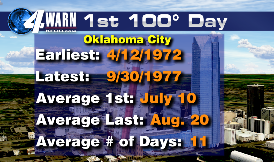
Our average first 100° high happens on July 10 for OKC. The earliest triple-digit high was April 12, 1972. The rain this year helped us keep the heat away, but all good things must come to an end.
As we head into the hottest time of the year, the triple-digit heat normally lasts into mid-August. Our average last 100° day is August 20.
Oklahoma City normally averages 11 days with highs in the 100’s. The record for 100° highs for OKC was set back in 2011 with 63 days that topped triple-digits.
The exceptional drought helped temperatures stay hot that summer. The excess rainfall this year did a good job moderating our temperatures, but as we dry out, temperatures will start to climb this week.
We won’t see a record-breaking heat wave like 2011 or 2012 this year thanks to the recent rainfall, but it will be plenty hot as we head into August.


